It's been six months since the explosion on the oil rig that led to the loss of 11 lives and the Deepwater BP oil spill in the Gulf of Mexico. When oil began to leak into the Gulf, NOAA immediately got to work monitoring the oil's trajectory and collecting samples of water and soil before the oil hit the coastline.
Within a month, we—along with our co-trustees—had formed more than a dozen technical working groups to assess the impacts of the oil on natural resources including wetlands, fish, and birds.
Since then, we have engaged an unprecedented response to the spill. There are nearly 800 NOAA staff and contractors involved in the Natural Resource Damage Assessment (NRDA) effort for the BP spill. We have been busy doing further sampling and assessments, organizing public meetings, and planning potential restoration activities.
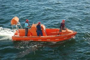
In most large oil spill cases, NRDA teams collect several hundred samples in the field. To date, BP spill NRDA teams have launched more than 70 offshore research cruises to gather data and collected nearly 25,000 environmental samples for analysis. The samples are being analyzed and validated by our labs, and results are being made available to the public.
The samples include:
- more than 10,000 water,
- nearly 3,000 sediment,
- almost 3,000 tissue samples.
About 2,000 linear miles of shoreline have been surveyed by the NRDA teams, which have documented oil on more than 950 miles of shoreline, including salt marshes, sandy beaches, mudflats, and mangroves. Our teams have also documented thousands of oiled birds, sea turtles, and other wildlife.
Public meetings to discuss NRDA have already begun, and there will be more opportunities for public involvement throughout this process. Although no one knows how long this NRDA will take, we have accomplished much in the first six months and will continue to work to assess the damage and restore the coast.


